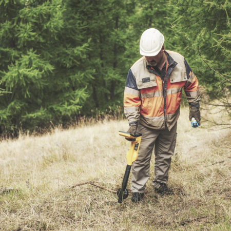
Cable Location
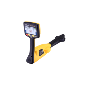
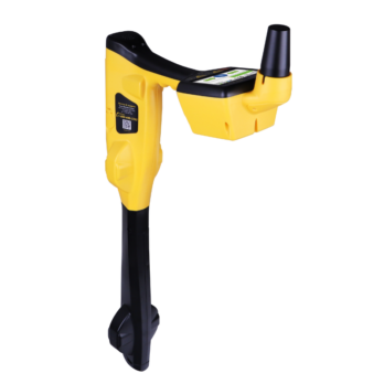
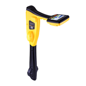
Vivax – Vloc 3 Pro
On Request
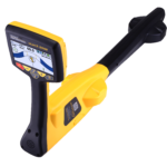
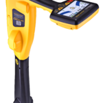
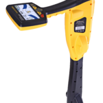
The Vloc3 5000 is a precision utility locator with Signal Select, GPS, and distortion alerts for accurate use in complex environments. Fill in the form below to get yours!


Have questions or need expert advice? Our team is ready to assist you. Chat with a knowledgeable expert in real-time and get the information you need.
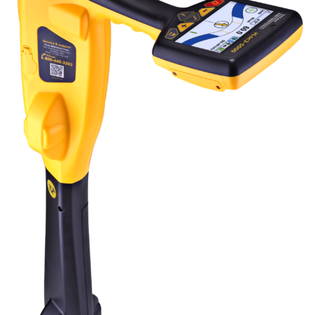
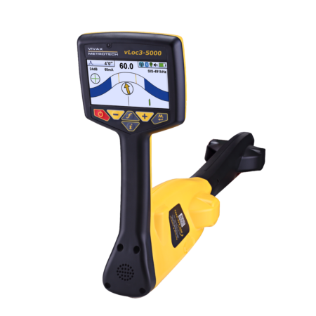
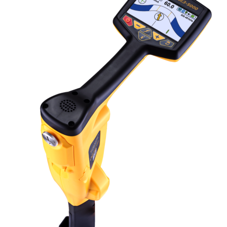
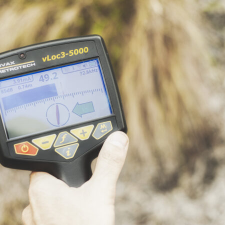
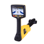
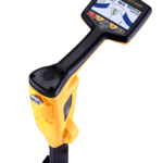
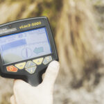
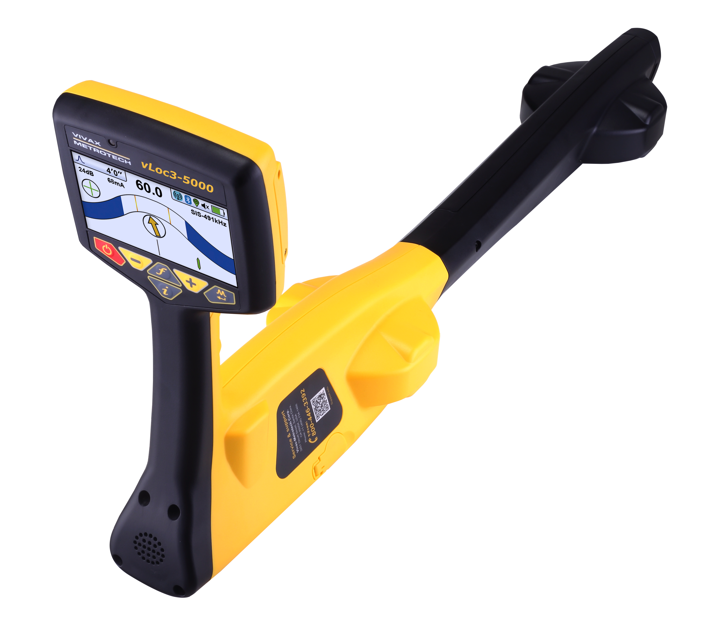
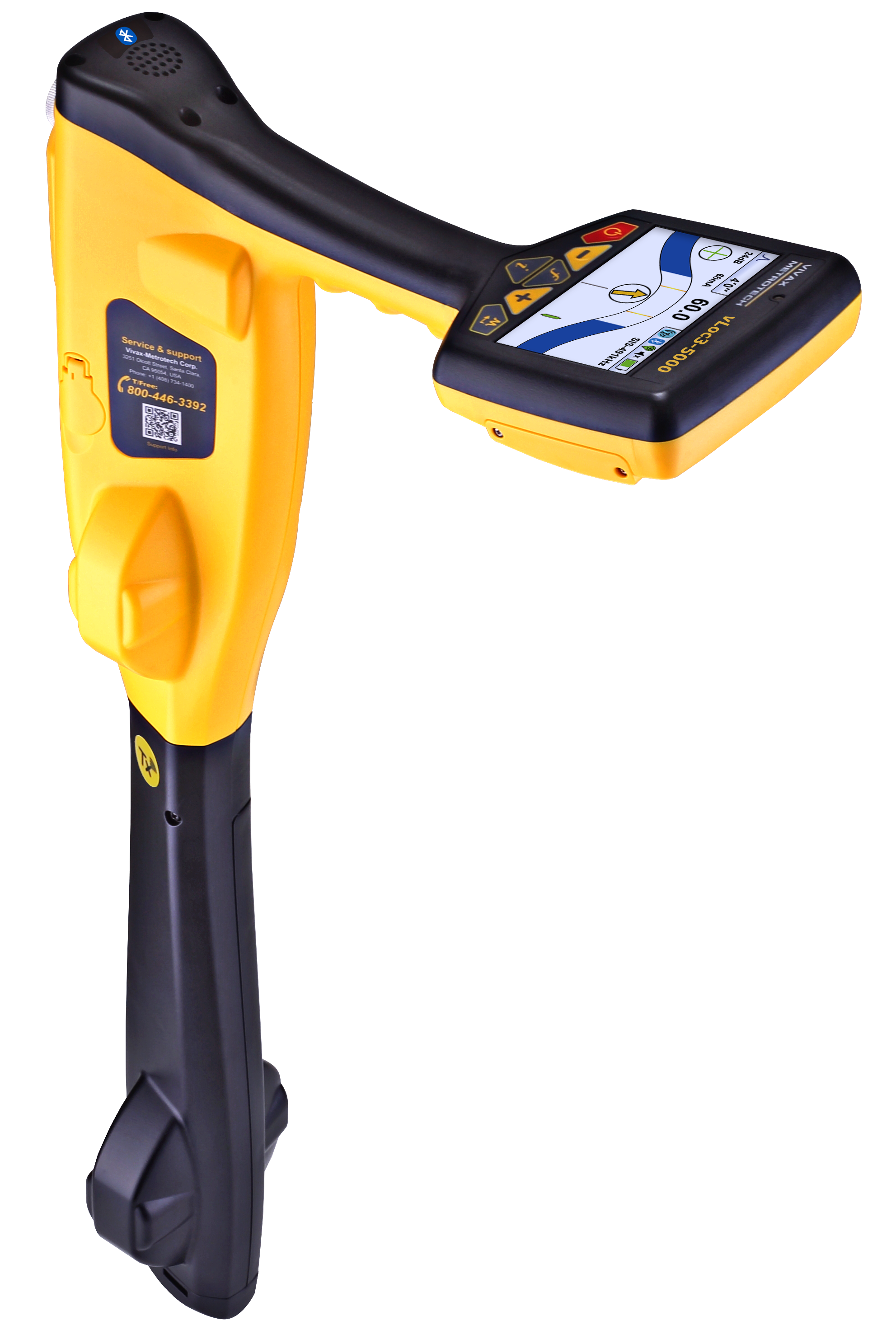
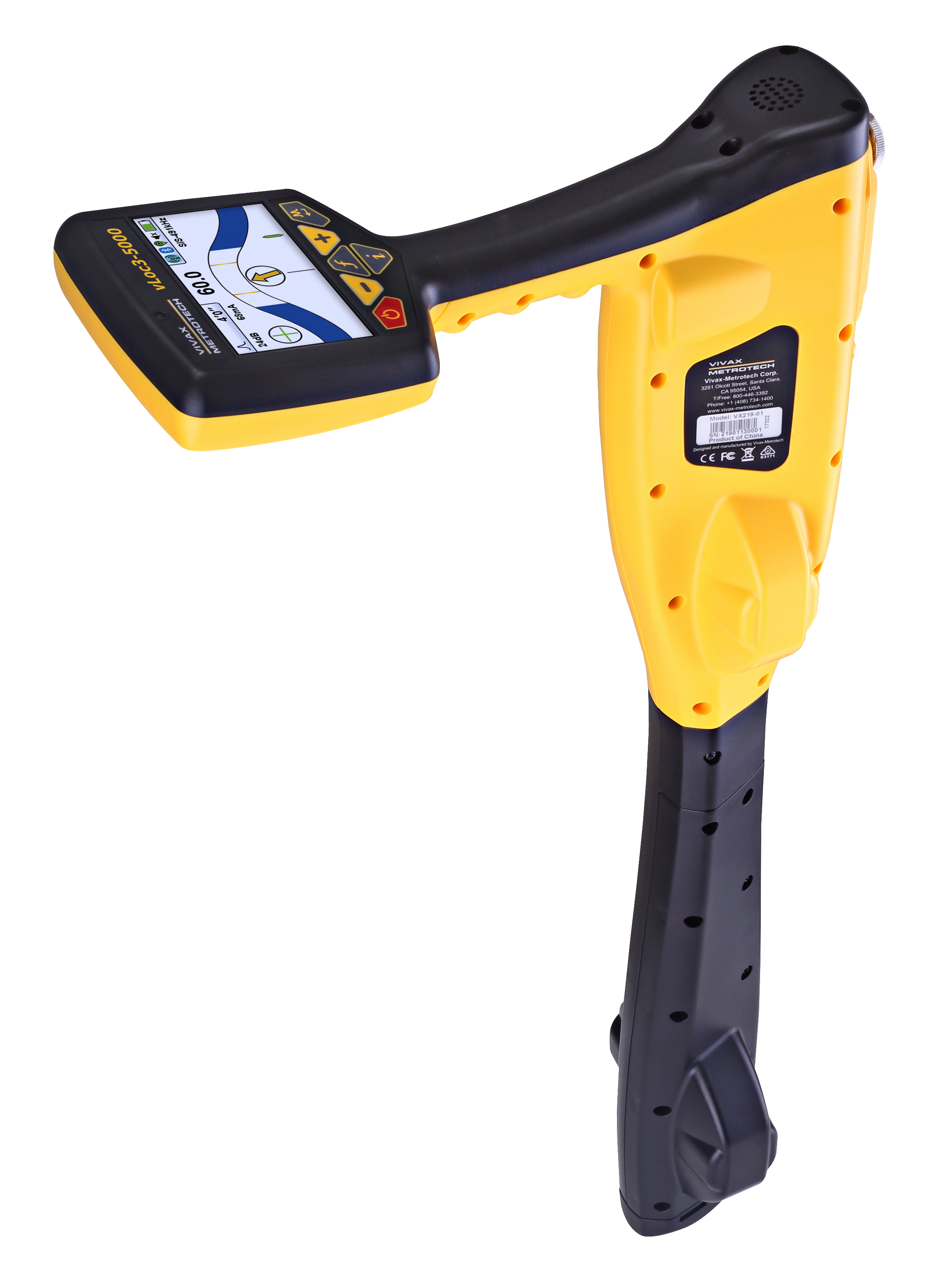
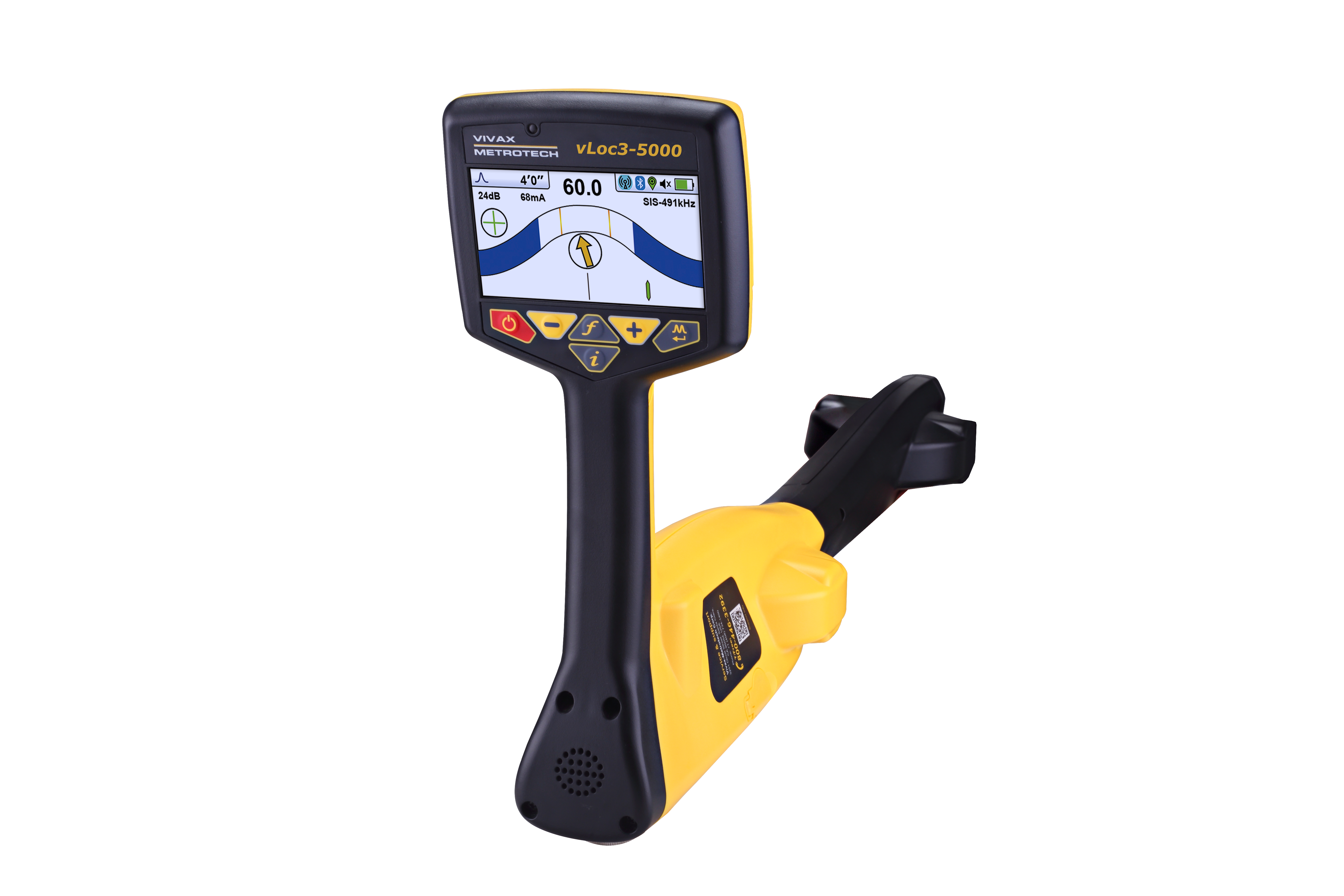
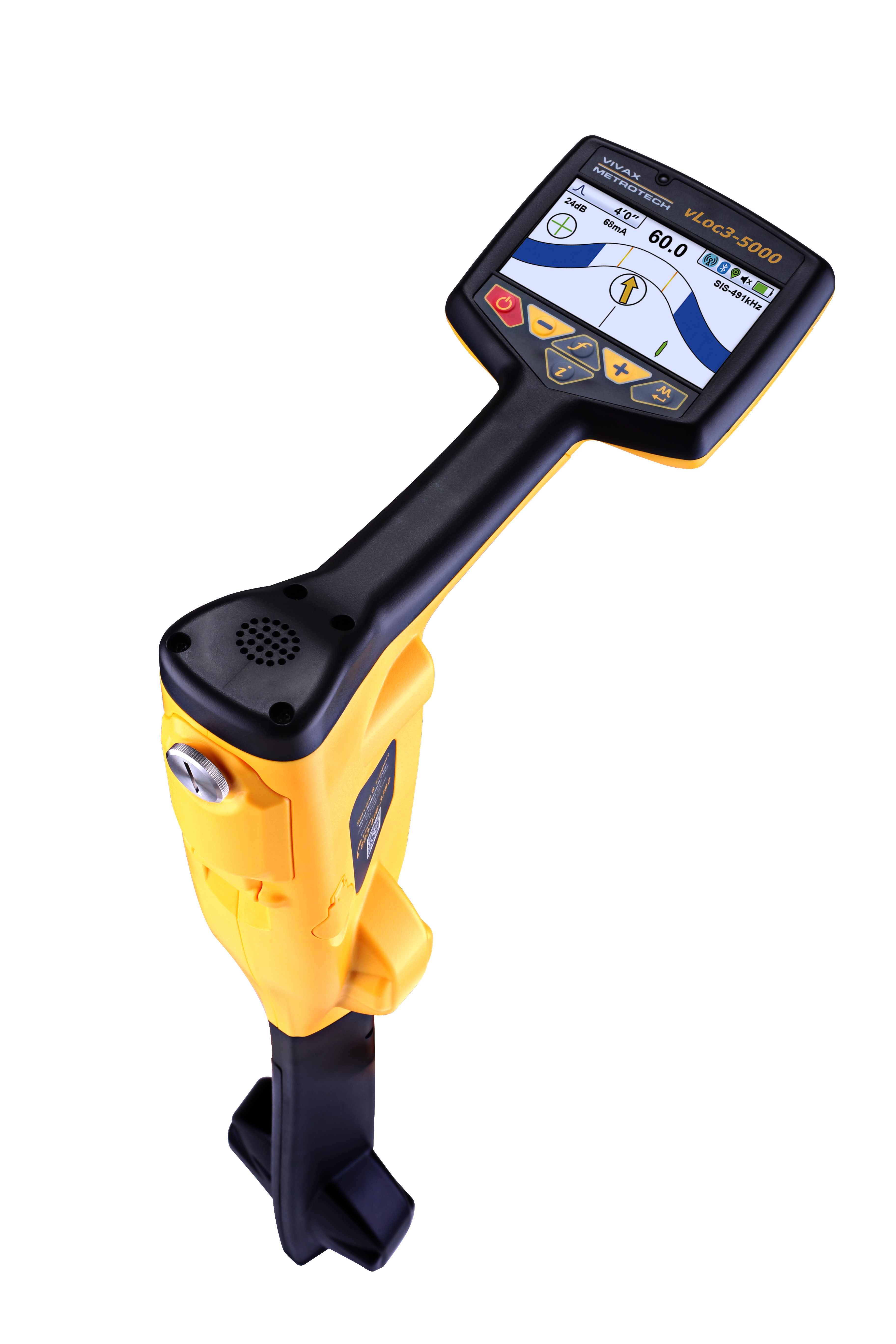
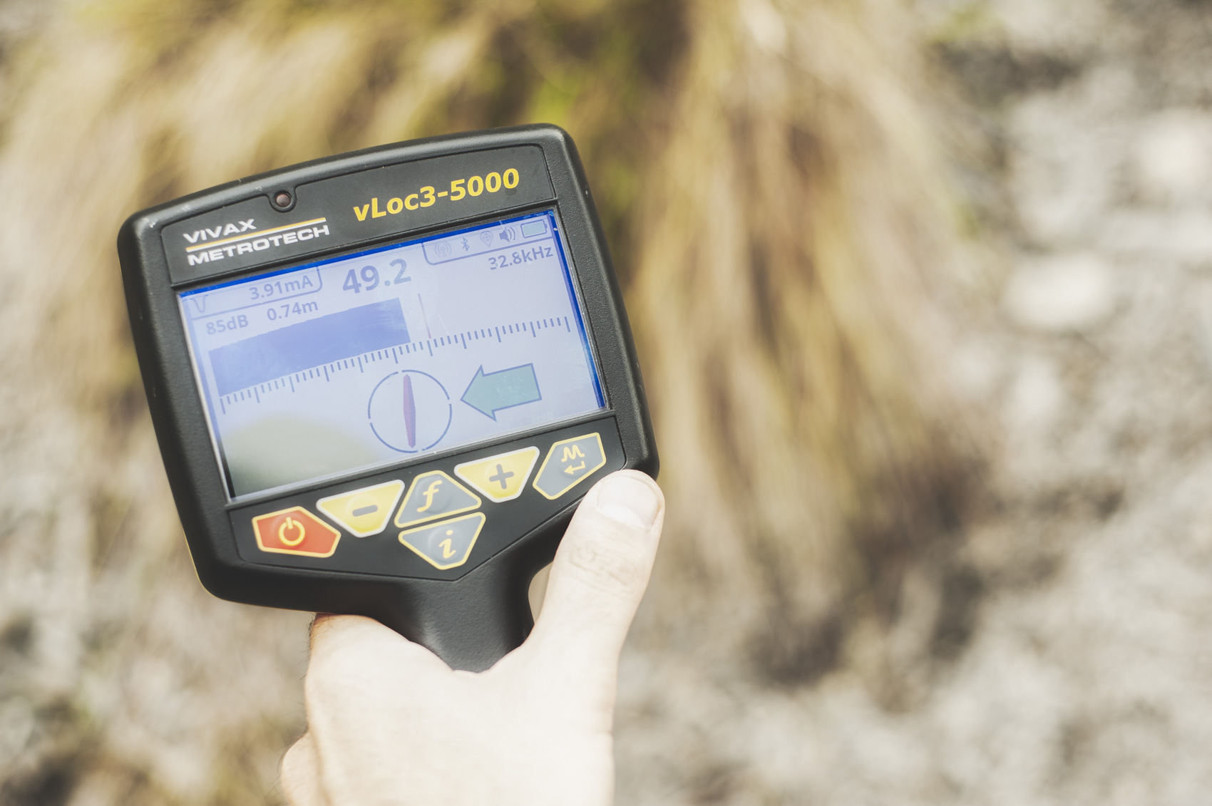
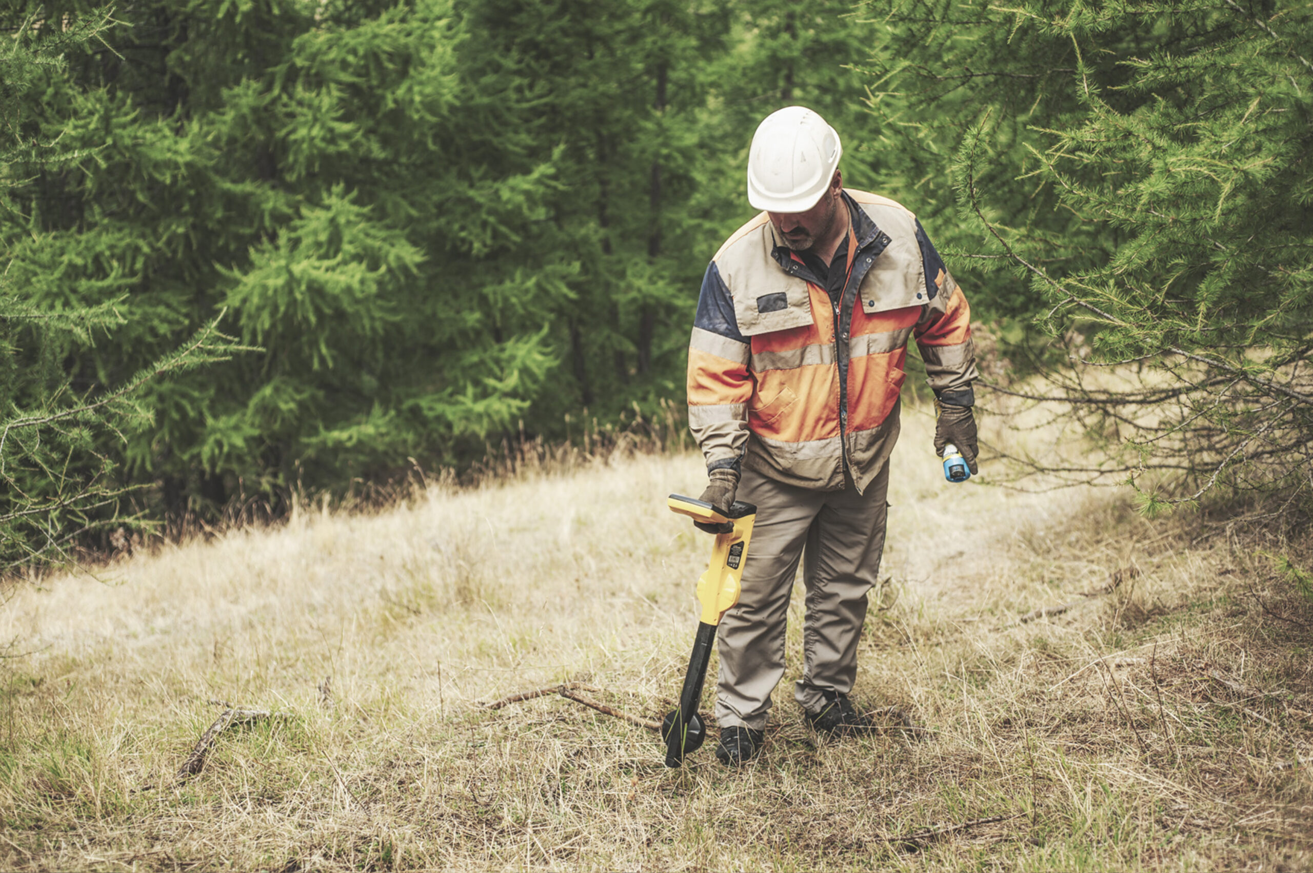
The Vloc3 5000 is a premium utility locator engineered for maximum accuracy and control in complex underground environments. Equipped with Signal Select, Signal Direction, and real-time Distortion Alerts, it helps users confidently identify target utilities while filtering out interference from adjacent lines. Integrated internal GPS and Bluetooth enable seamless mapping and data transfer using the VMMap app, making the Vloc3 5000 ideal for professionals who need to log and analyse location activity in real time or post-job.
The Vloc3 5000 supports a wide frequency range—from 98Hz to 200kHz—and includes passive power and radio modes, making it highly effective in congested utility corridors. Advanced visualisation tools such as Vector Locate, Transverse Graph, Plan View, and a graphical sonde screen provide intuitive, multi-angle insight for precision locating.
Designed for adaptability, the system supports plug-and-play external GPS and MLA (Marker Locator Adapter) for locating buried markers, and includes optional sheath-to-earth fault finding when paired with an A-frame accessory.
Can’t find your answer? Get in touch with our team.
These devices typically use electromagnetic signals to detect metallic utilities underground. They may also use a combination of transmitter and receiver units to trace the paths of these utilities.
Yes, Altitude Safety is a Nationwide.
We suggest regular calibration and testing against known benchmarks to ensure accuracy. Many models also provide additional diagnostic functions for you to monitor and verify their performance.